Hi Farmers! Welcome to BeeAware
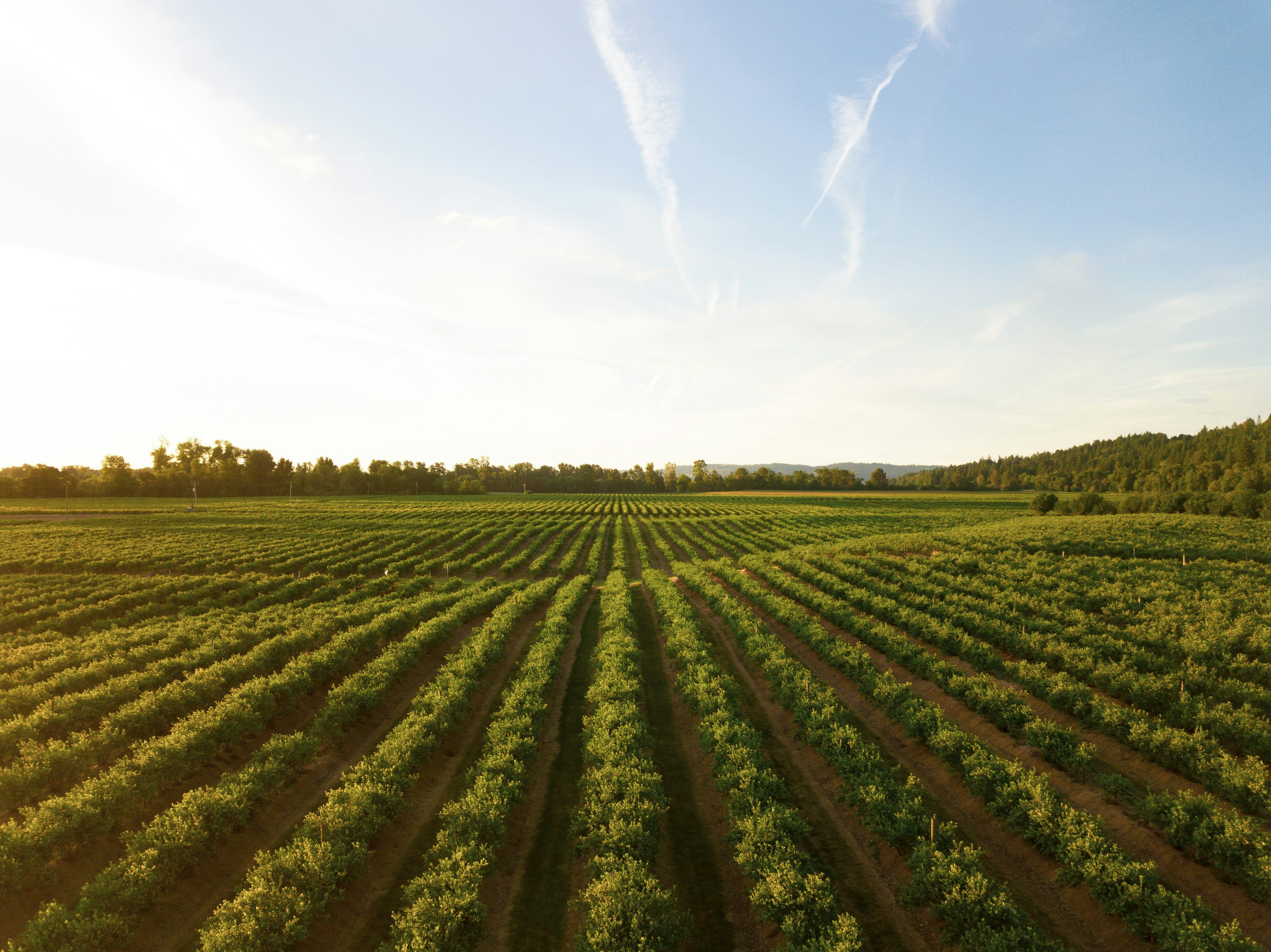
Our food supply depends on healthy bee populations. BeeAware uses NASA satellite data to identify vegetation blooms, helping farmers and beekeepers find vital food sources for their colonies.
↓
Our food supply depends on healthy bee populations. BeeAware uses NASA satellite data to identify vegetation blooms, helping farmers and beekeepers find vital food sources for their colonies.
Ten years ago, about 2.6 million honeybee colonies supplied farms all over the US. In the past year alone, more than half of all of these colonies died.
62.3% of all American honeybees died from a viral pathogen. NASA LANDSAT data shows an immediate effect: shrinking blooms, declining vegetation, and disrupted growing cycles.
BeeAware is a NASA-powered web tool that uses satellite data over time to visualize blooming hotspots to protect pollinators and restore balance to the ecosystems they support.
BeeAware doesn’t just visualize data; it forms real decisions. Farmers can decide when and where to plant. Beekeepers can choose optimal hive locations. Conservationists can target critical restoration zones, and communities can know when to limit human activity.
Our AI-powered superbloom prediction model analyzes climate data to forecast when and where wildflowers will bloom, helping you plan optimal hive placement for maximum honey production.
View 2026 ForecastFlowering seasons are shifting due to climate instability, drought and land-use change are fragmenting wildflower habitats, and pollinator corridors that once connected thriving ecosystems are breaking apart.